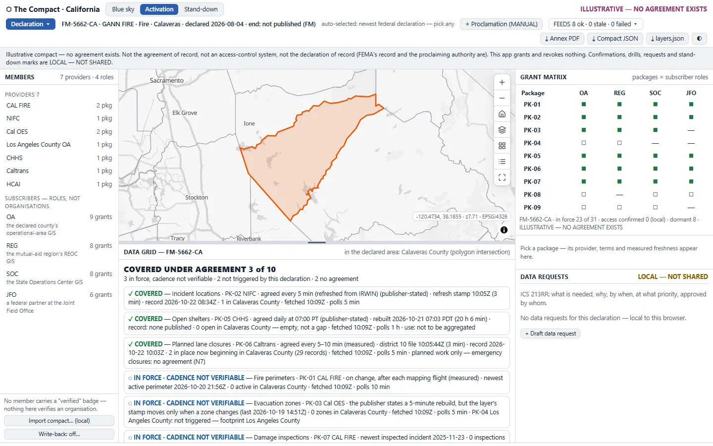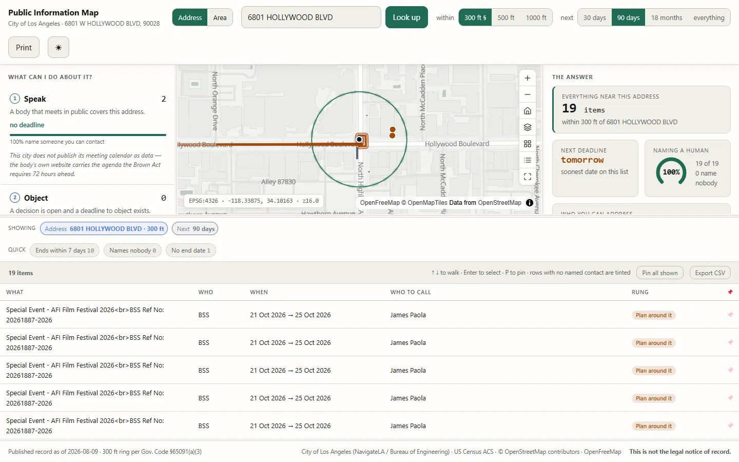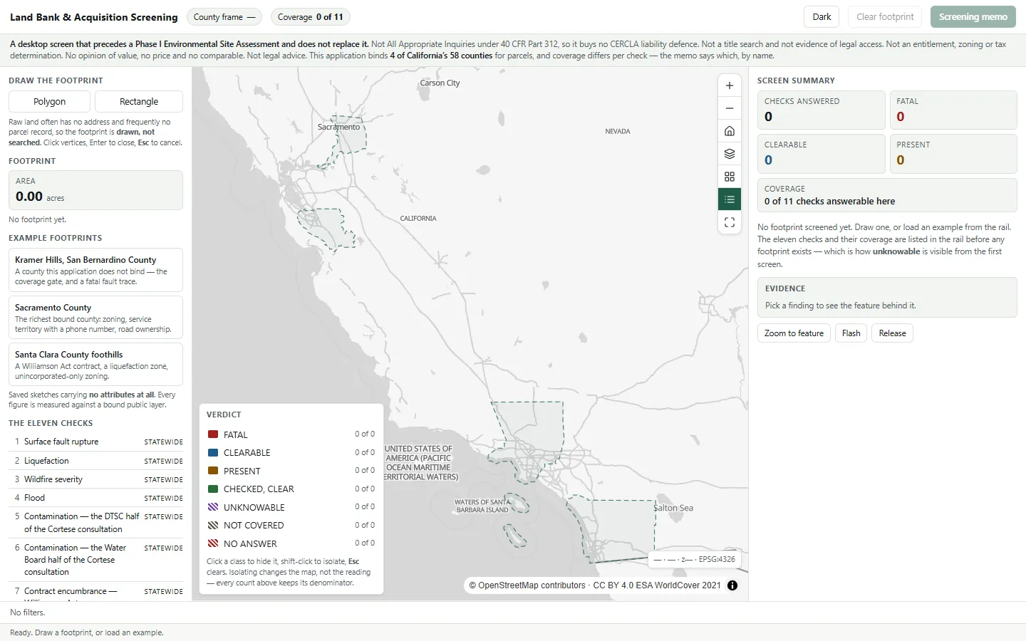
Atlas Open-Data Hub · Geodata Management
Where is the open data for my area, and is it current?
Turns a government’s public map services into one atlas: hover any dataset to see it live, pin layers into your own map, and leave with a working map, not a zip file.
Before you open it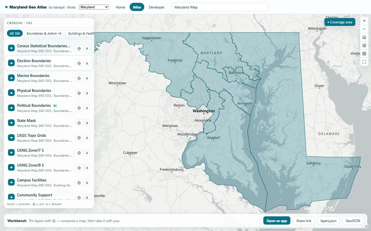 1
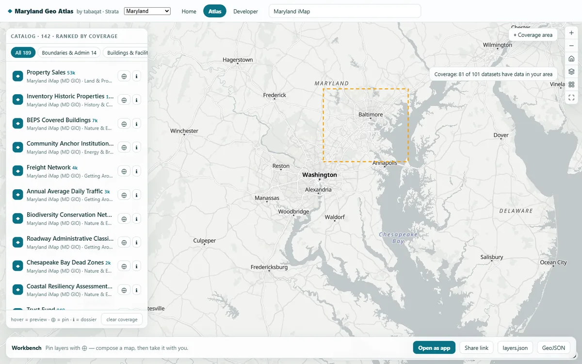 2
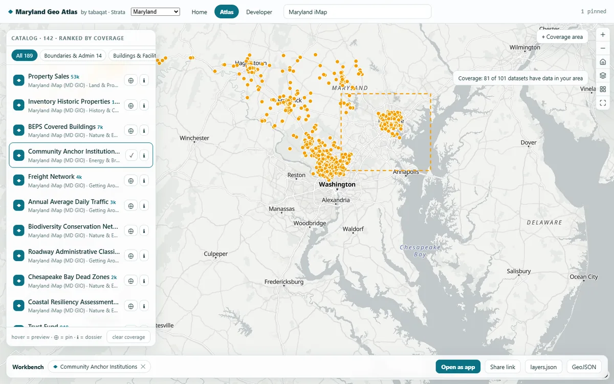 3
What you'll do in the app
1Hover a datasetFloodplain, hospitals, traffic cameras: each layer appears live on the map as you pass over it.
2Draw your areaThe catalog re-ranks by what actually covers it, with a feature count beside each dataset.
3Pin and leavePinned layers compose one map; export it as layers.json or GeoJSON, or share the link.
Demo dataLive Maryland, California, DC and Virginia map services
StandardDCAT-US 1.1 · ISO 19115 · schema.org/Dataset
Runs onStrata, or your existing Esri services
Built fromAn open recipe, in one run with Claude
On your own data
Want this on your own data?
We deliver it for you
We set it up on your data and your rules, load your first layers, and support it on Strata Hosted or Custom.
Delivery, licence and annual supportKeep exploring
All 1 Geodata Management apps →