
Valuation & Taxation Base Map · Real Estate
How much of this tax assessment comes from the property itself?
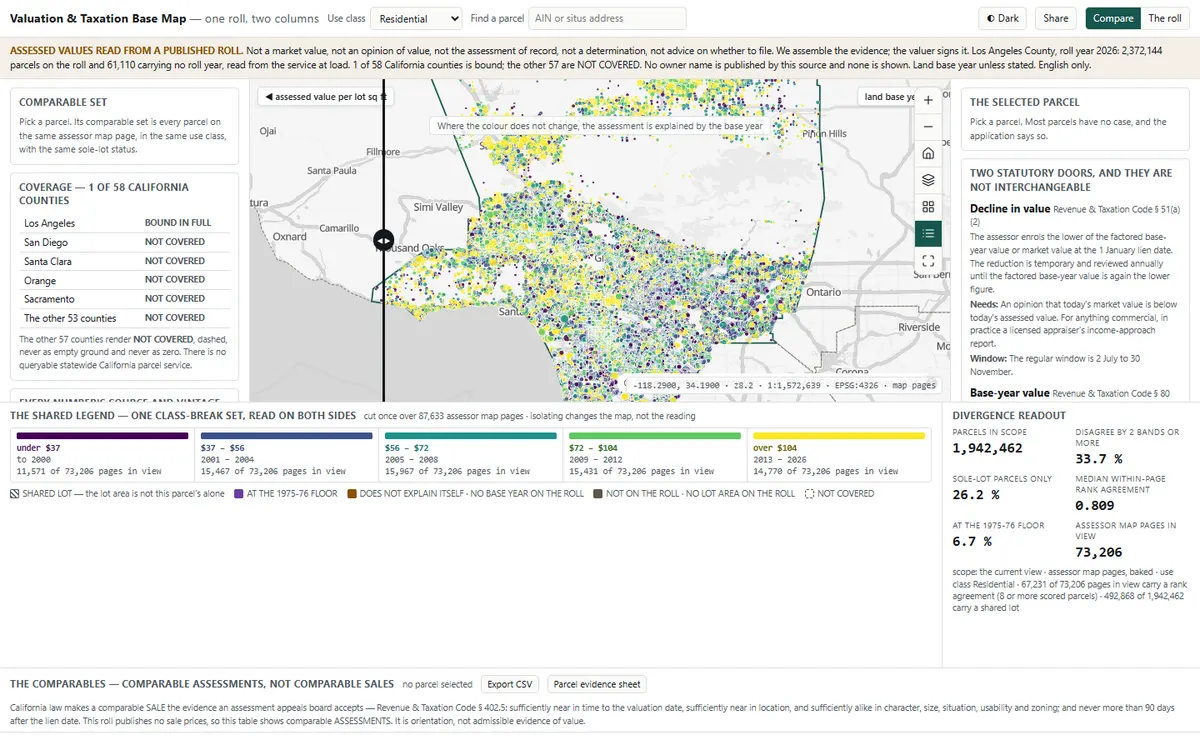
Splits a tax assessment into what comes from the property and what comes from the year it was last bought, across Los Angeles County's 2.37 million parcels.
Before you open it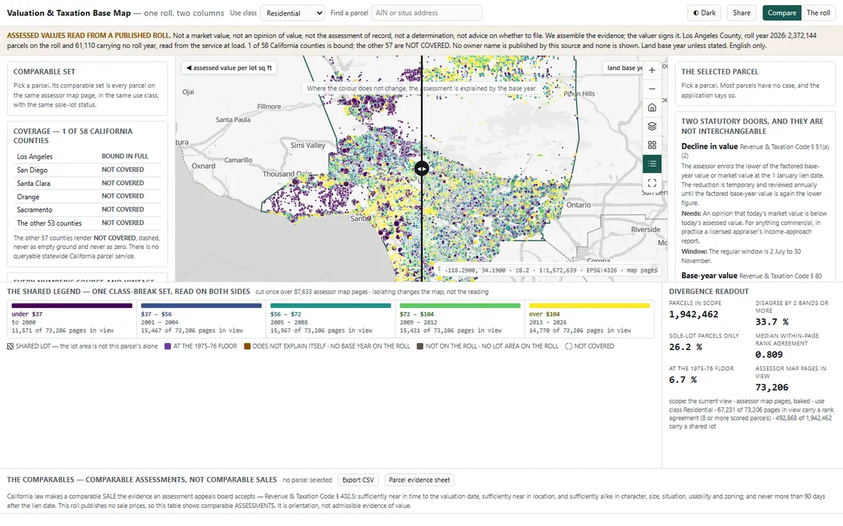 1
 2
 3
What you'll do in the app
1See both columnsValue per square foot of land on one side, the year that value was set on the other.
2Drag the dividerSwipe across the map and see where the base year, not the property, explains the tax.
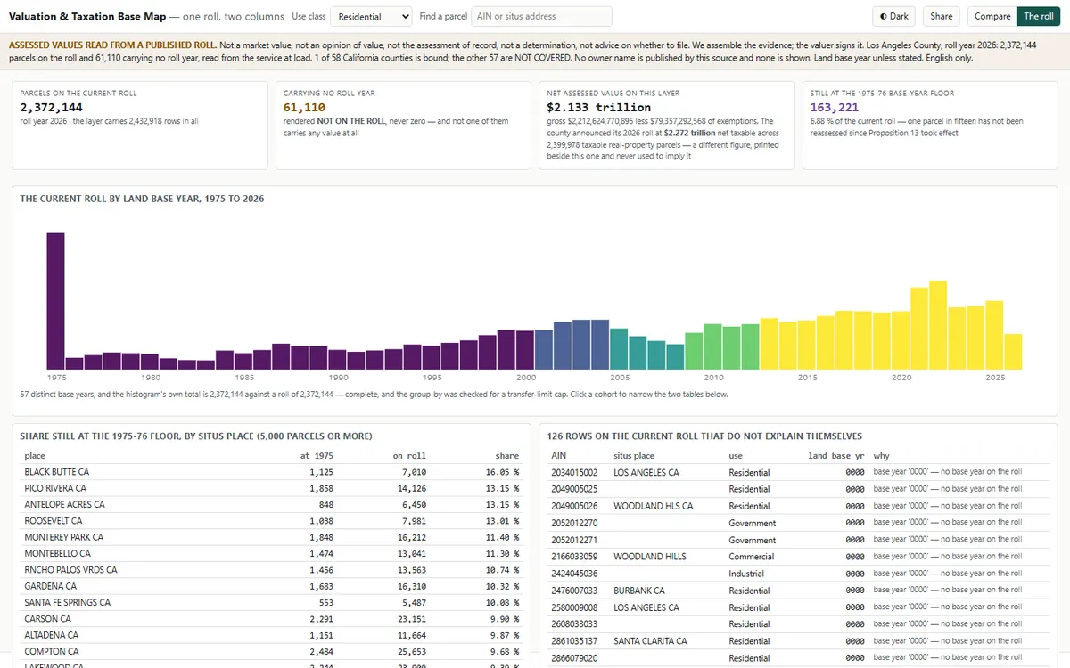
3Open the rollThe whole roll by base year since 1975, and every parcel that doesn't explain itself.
Demo dataLive Los Angeles County assessment roll
StandardLADM Part 4 valuation
Runs onStrata, or your existing Esri services
Built fromAn open recipe, in one run with Claude
Two ways to get it
Want this on your own data?
Build it yourself
Start from the free open template and the AI-guided setup. Run it on Strata Free, on your own servers.
Free · MIT licenceGet the template →We deliver it for you
We set it up on your data and your rules, load your first layers, and support it on Strata Enterprise or Hosted.
Delivery, licence and annual supportKeep exploring
All 8 Real Estate apps →Explore similar apps
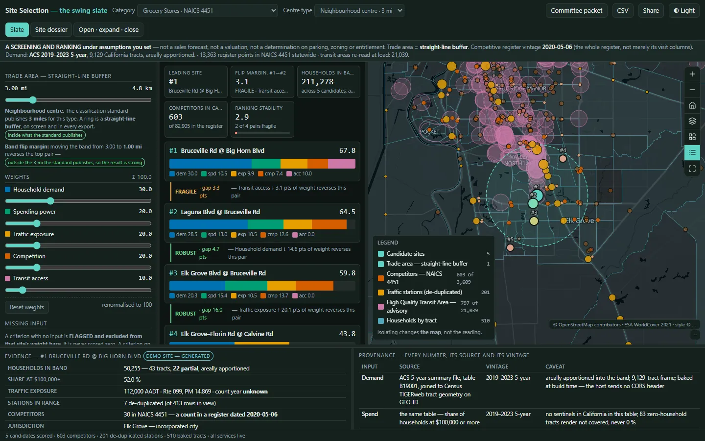
Site SelectionWhere is the best site for our next location?See the app →
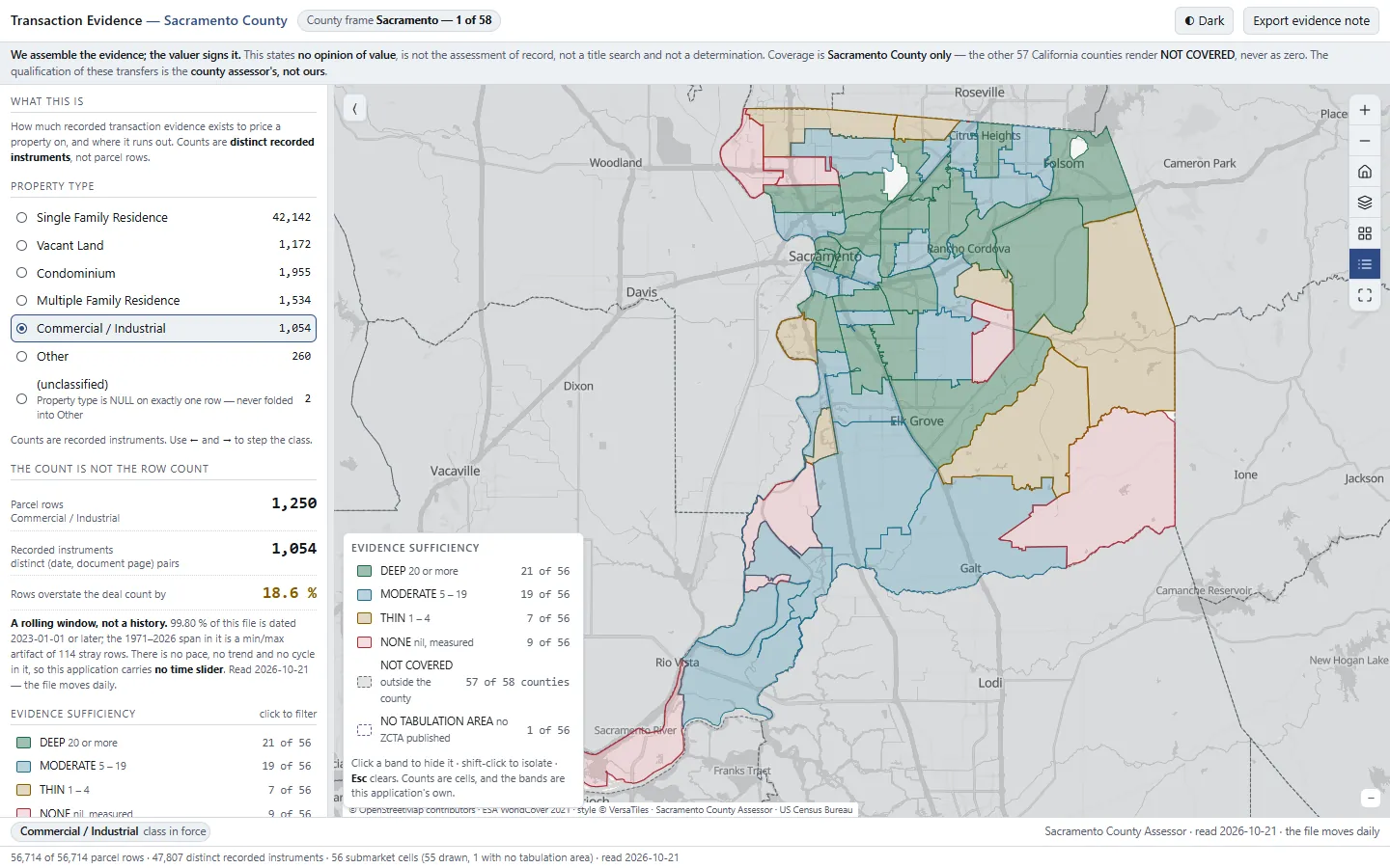
Transaction & Market ActivityHow many comparable sales are there for this property?See the app →
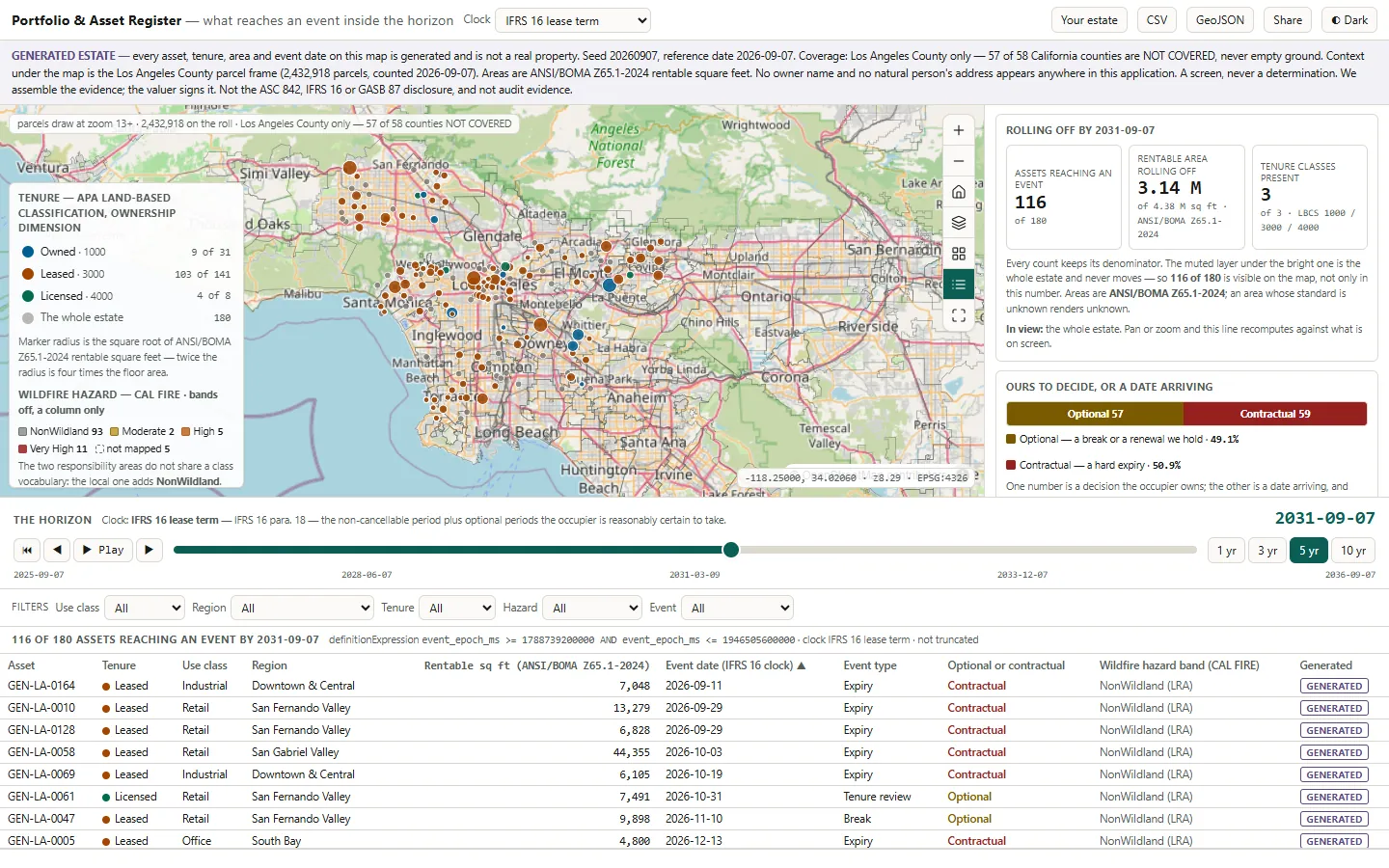
Portfolio & Asset RegisterWhich leases end or come up for review before this date?See the app →
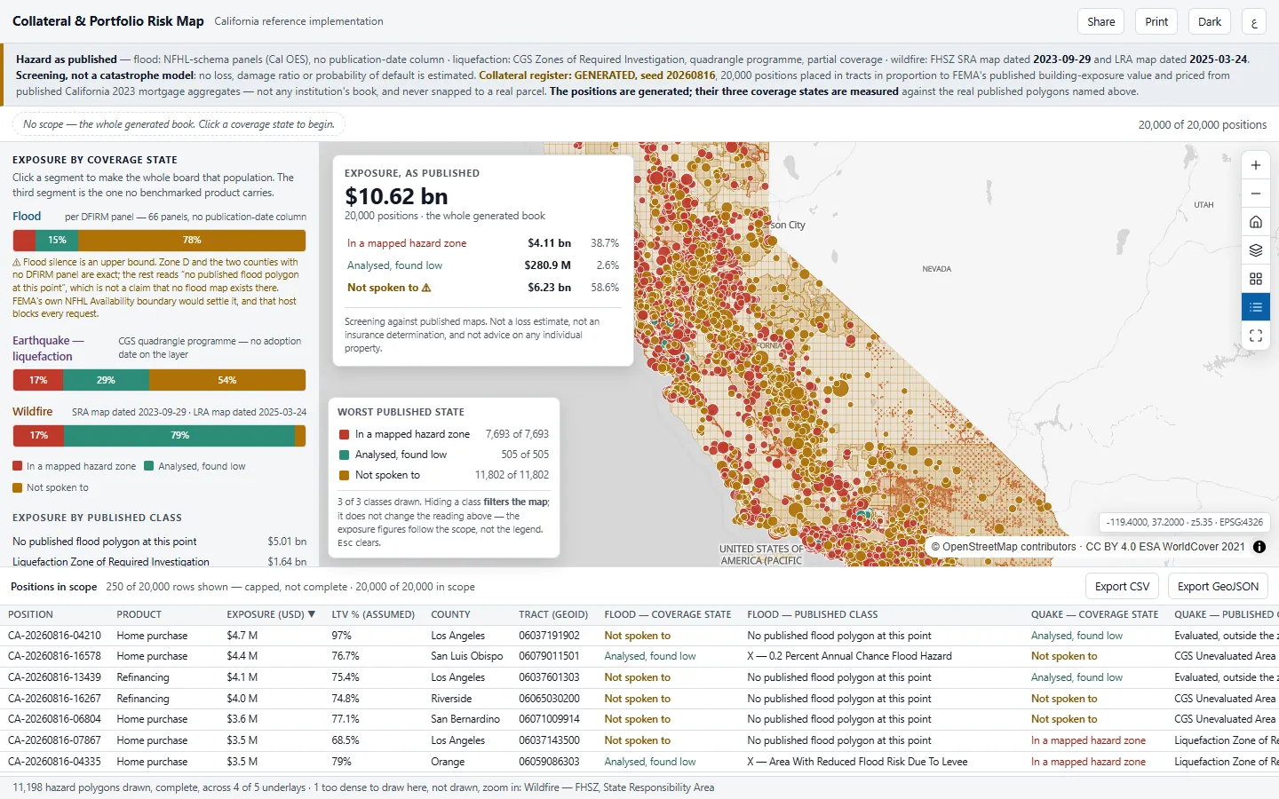
Financial ServicesCollateral & Portfolio Risk MapHow much of our collateral sits where no hazard map has looked?
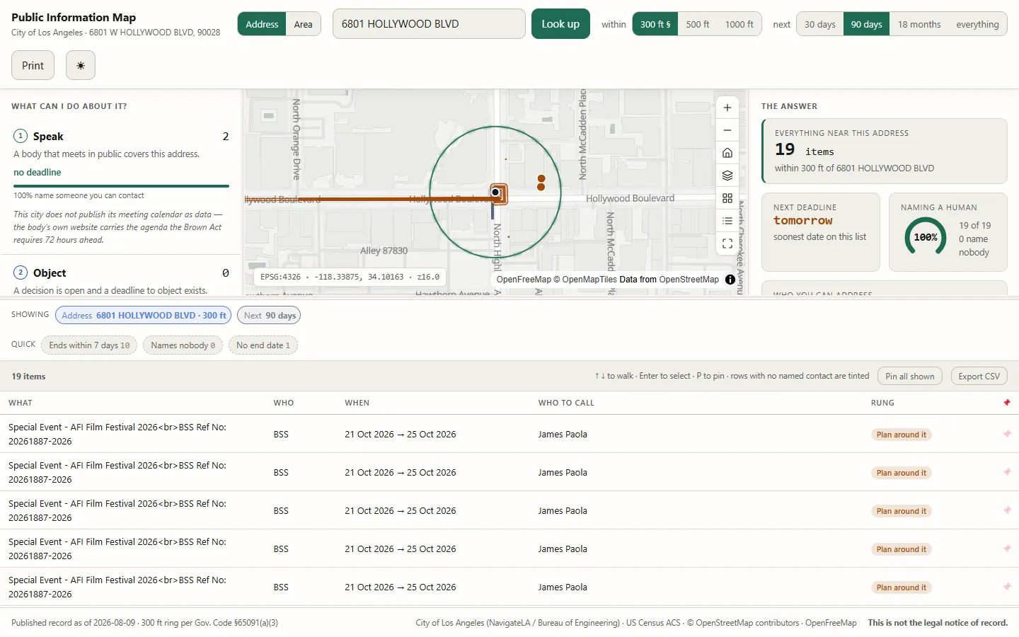
Local GovernmentPublic Information MapWhat is the city doing at my address, and what can I still do?
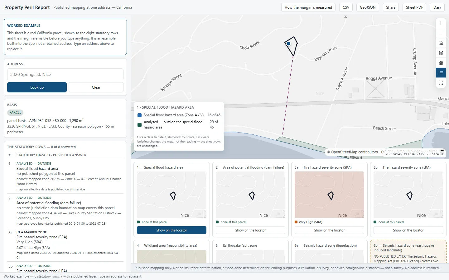
Financial ServicesProperty Peril ReportWhat hazards apply to this address, and how close is it to the line?