
Free edition
Run Strata Server on your own data — no account required.
- ArcGIS REST FeatureServer + VectorTileServer
- Public users only — no tokens
- Up to 12 layers
- Community support
Strata Server reads your GIS data and serves it over the ArcGIS REST protocol — FeatureServer and VectorTileServer — so ArcGIS Pro, the Maps SDK, QGIS, and MapLibre connect with zero migration. One small, fast Rust binary.
This is Strata Server serving live layers. Click a service to load it on the map and see the ArcGIS-compatible REST endpoint your own tools would use.
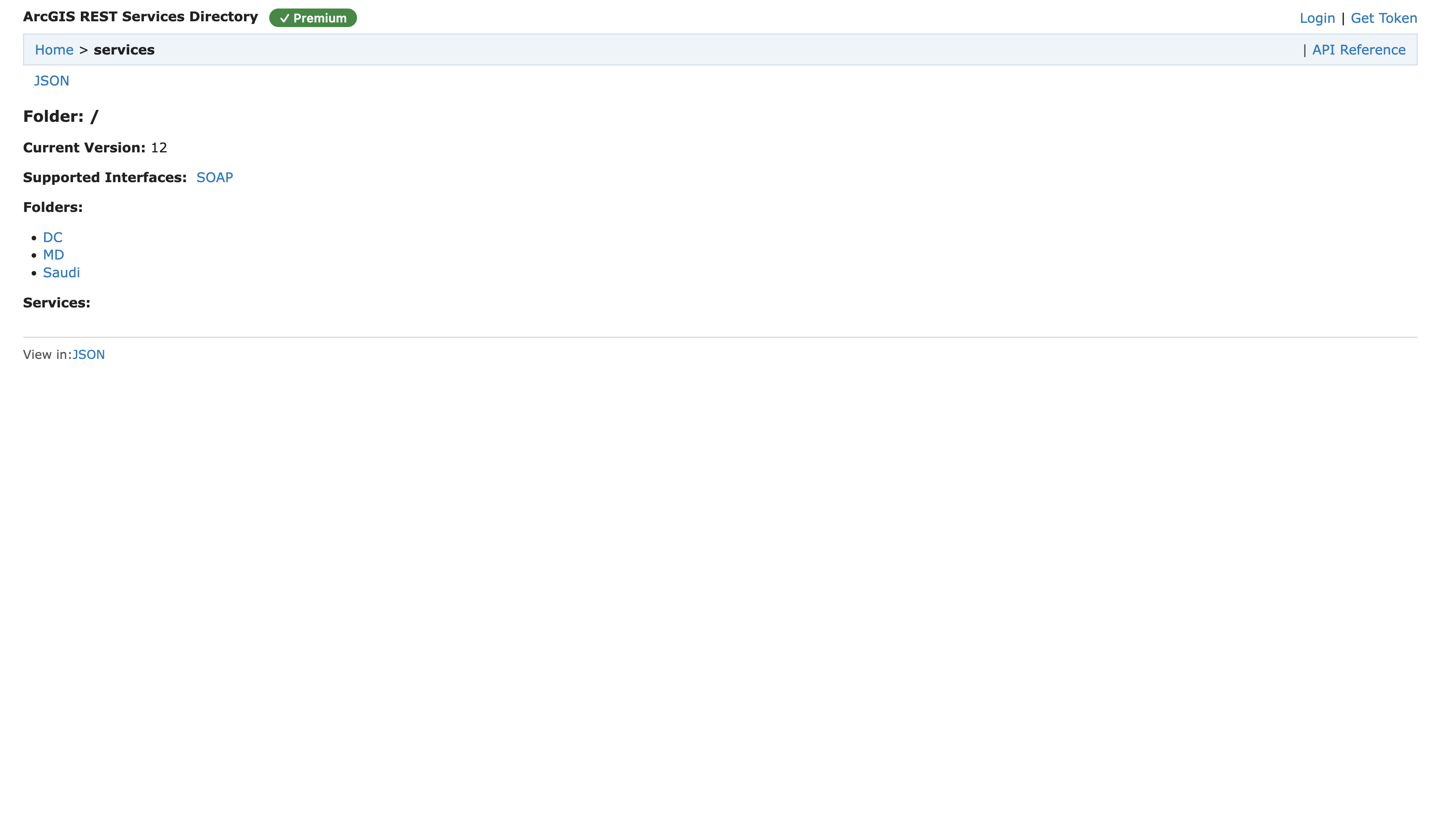
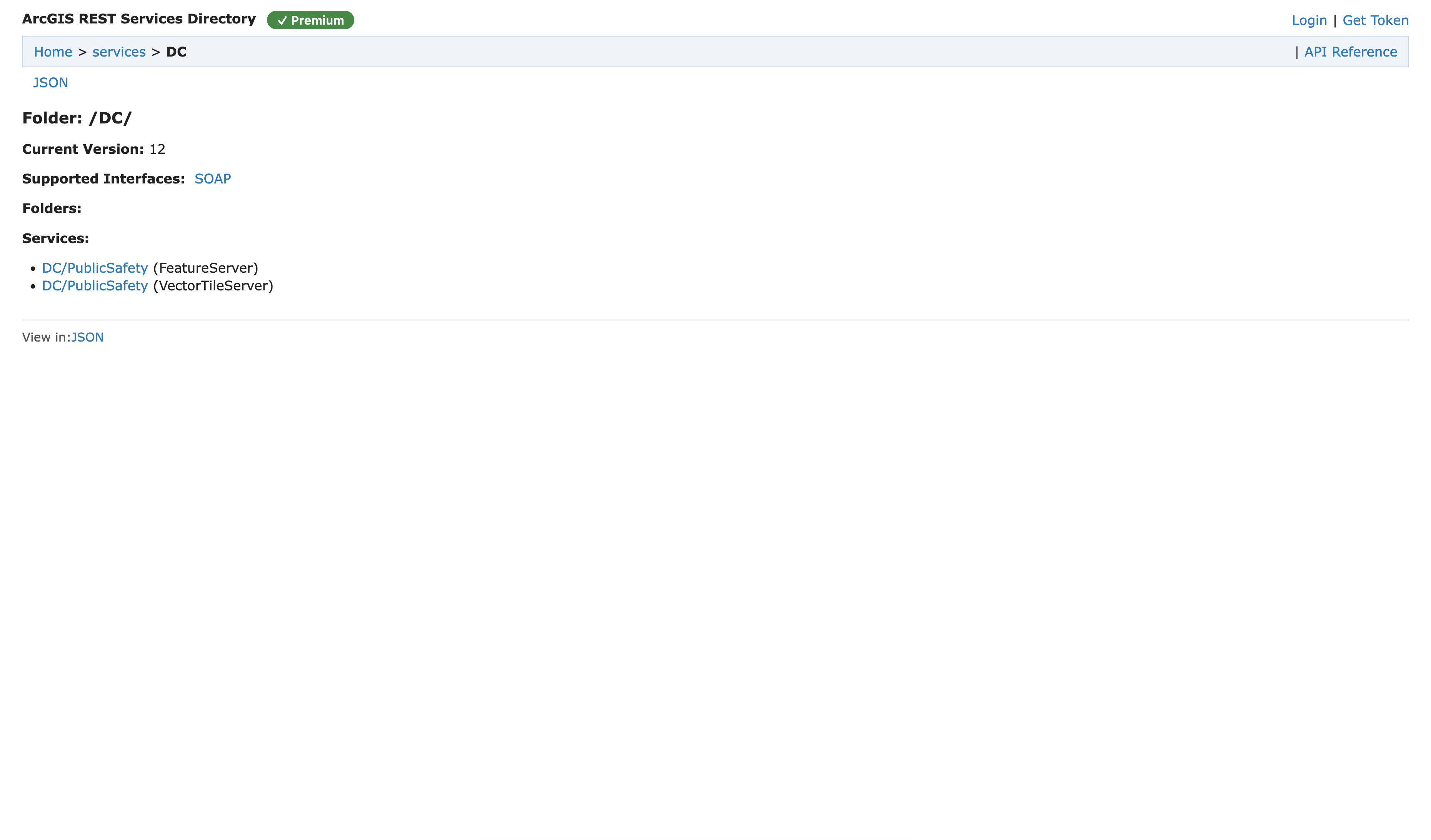
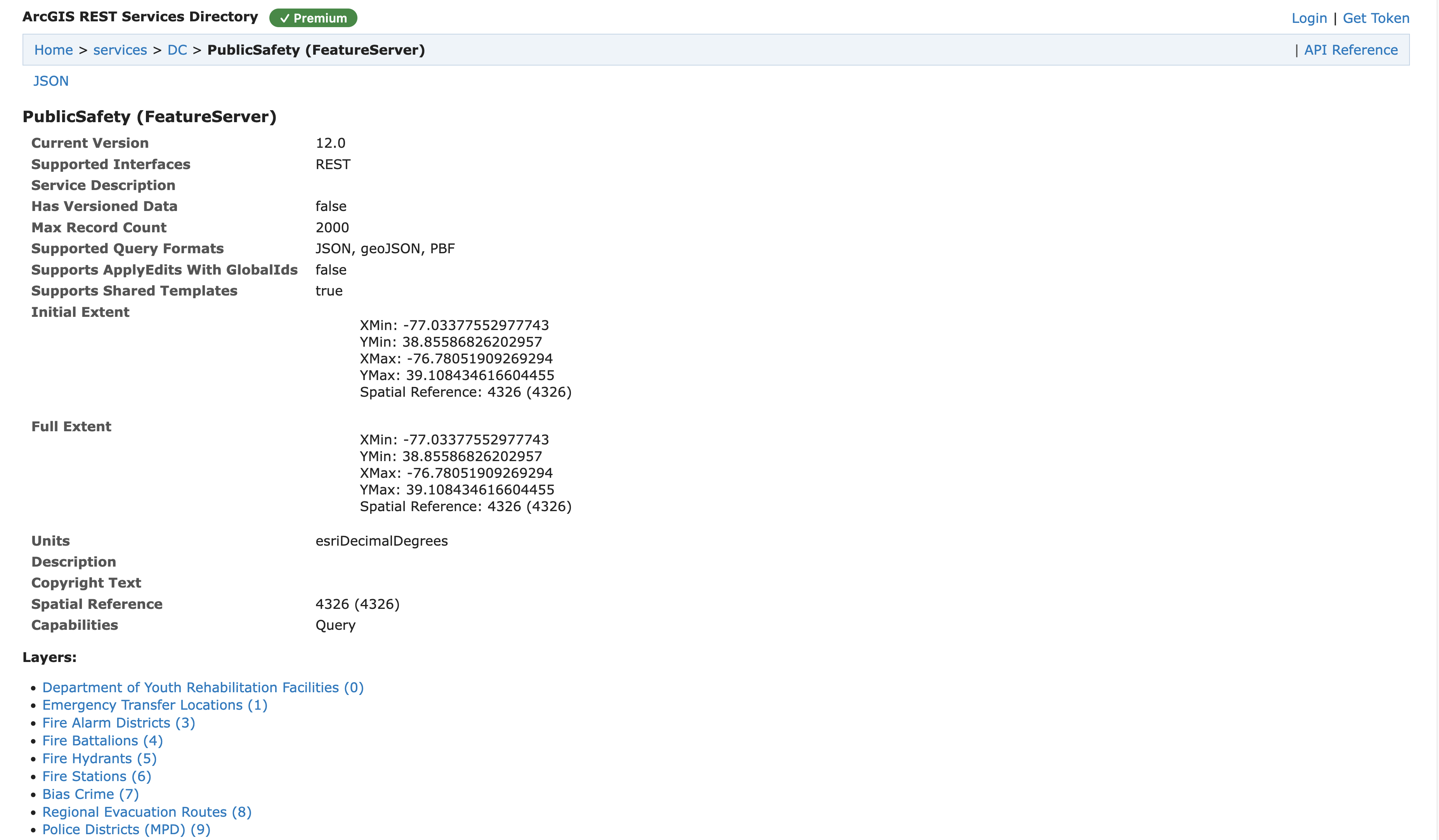
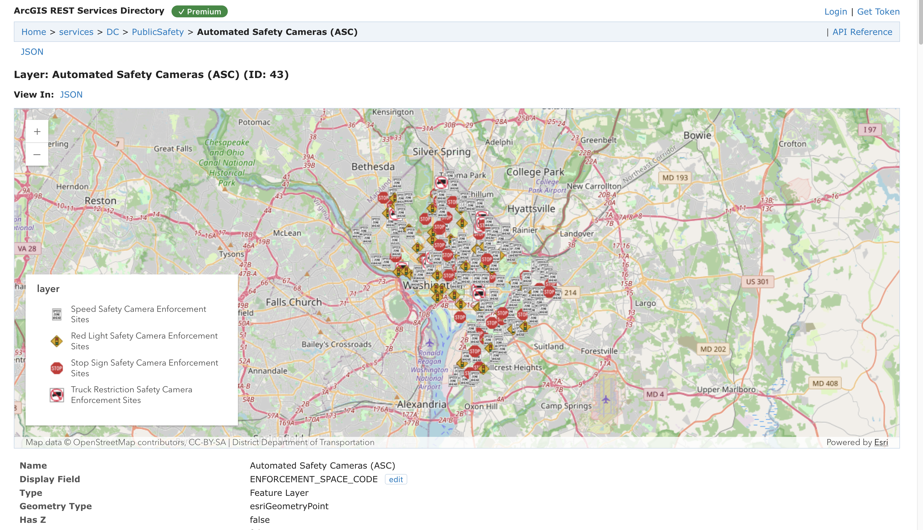
Fully compatible with your ArcGIS Pro
FeatureServer + VectorTileServer endpoints, query, statistics, top-features, bins, generateRenderer, related records.
Serve cloud-native geospatial data from local or cloud (S3) storage directly via DuckDB — no import step, no database to run.
Discoverable from Pro's “Add Server”, with the SOAP catalog handshake and folder-scoped services.
On-the-fly MVT with a bytes-weighted cache, plus MapLibre/Mapbox style output for web maps.
Strata Server is an independent, interoperable product. “Compatible with ArcGIS®” describes interoperability only.
Start free on your own machine, or scale to production with authentication, unlimited layers, and support.
Run Strata Server on your own data — no account required.
Everything in Free, plus production-grade controls and support.
Strata Server publishes your spatial data over the ArcGIS REST protocol, and Strata GeoAI lets anyone explore it in plain language — on your own or open global data.